The United States Census Bureau regularly releases a geodatabase named TIGER. This table contains the 2010 census Demographic Profile 1 values aggregated by census tract. Tract areas vary tremendously, but in urban areas are roughly equivalent to a neighborhood. There are about 74,000 polygon features covering the United States, the District of Columbia, Puerto Rico, and the Island areas.
For full technical details on all TIGER 2010 products, see the TIGER technical documentation.
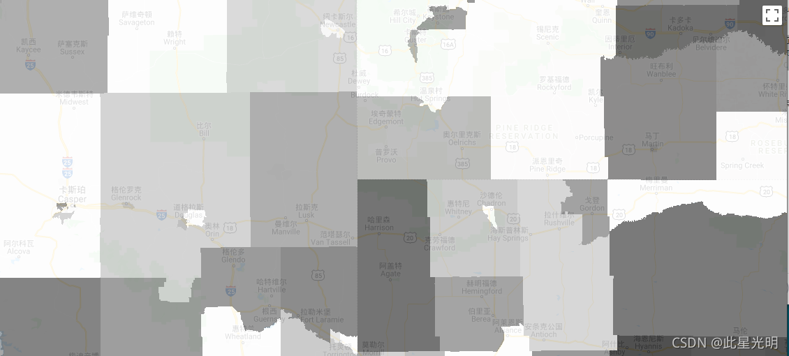
Each tract also includes attributes with sums of the DP1 population measurements that intersect the boundary. The columns have the same name as the shortname column in the DP1 lookup table.
美国人口普查局定期发布一个名为TIGER的地理数据库。这个表格包含了2010年人口普查的人口概况1的数值,按普查区汇总。区的面积差别很大,但在城市地区,大致相当于一个社区。有大约74,000个多边形特征,覆盖美国、哥伦比亚特区、波多黎各和岛屿地区。
关于所有TIGER 2010产品的全部技术细节,请参见TIGER技术文件。
每个区还包括与边界相交的DP1人口测量值之和的属性。这些列的名称与DP1查询表中的短名列相同。
Dataset Availability
2010-01-01T00:00:00 - 2010-01-02T00:00:00
Dataset Provider
United States Census Bureau
Collection Snippet
Copied
ee.FeatureCollection("TIGER/2010/Tracts_DP1")
波段信息
Name | Type | Description |
aland10 | Double | Land area |
awater10 | Double | Water area |
geoid10 | String | Census tract identifier: a concatenation of state FIPS code, county FIPS code, and census tract code |
intptlat10 | String | Latitude of the internal point |
intptlon10 | String | Longitude of the internal point |
namelsad10 | String | Legal/statistical area description and the census tract name |
shape_area | Double | Area in square degrees |
shape_leng | Double | Perimeter in degrees |
使用说明:
The U.S. Census Bureau offers some of its public data in machine-readable format via an Application Programming Interface (API). All of the content, documentation, code and related materials made available to you through the API are subject to these terms and conditions.
数据引用:
For the creation of any reports, publications, new data sets, derived products, or services resulting from the data set, users should cite the US Census Bureau.
代码:
var dataset = ee.FeatureCollection('TIGER/2010/Tracts_DP1');
var visParams = {
  min: 0,
  max: 4000,
  opacity: 0.8,
};

// Turn the strings into numbers
dataset = dataset.map(function (f) {
  return f.set('shape_area', ee.Number.parse(f.get('dp0010001')));
});

Map.setCenter(-103.882, 43.036, 8);
var image = ee.Image().float().paint(dataset, 'dp0010001');

Map.addLayer(image, visParams, 'TIGER/2010/Tracts_DP1');
Map.addLayer(dataset, null, 'for Inspector', false);